Where is located the Mosteiro Stream
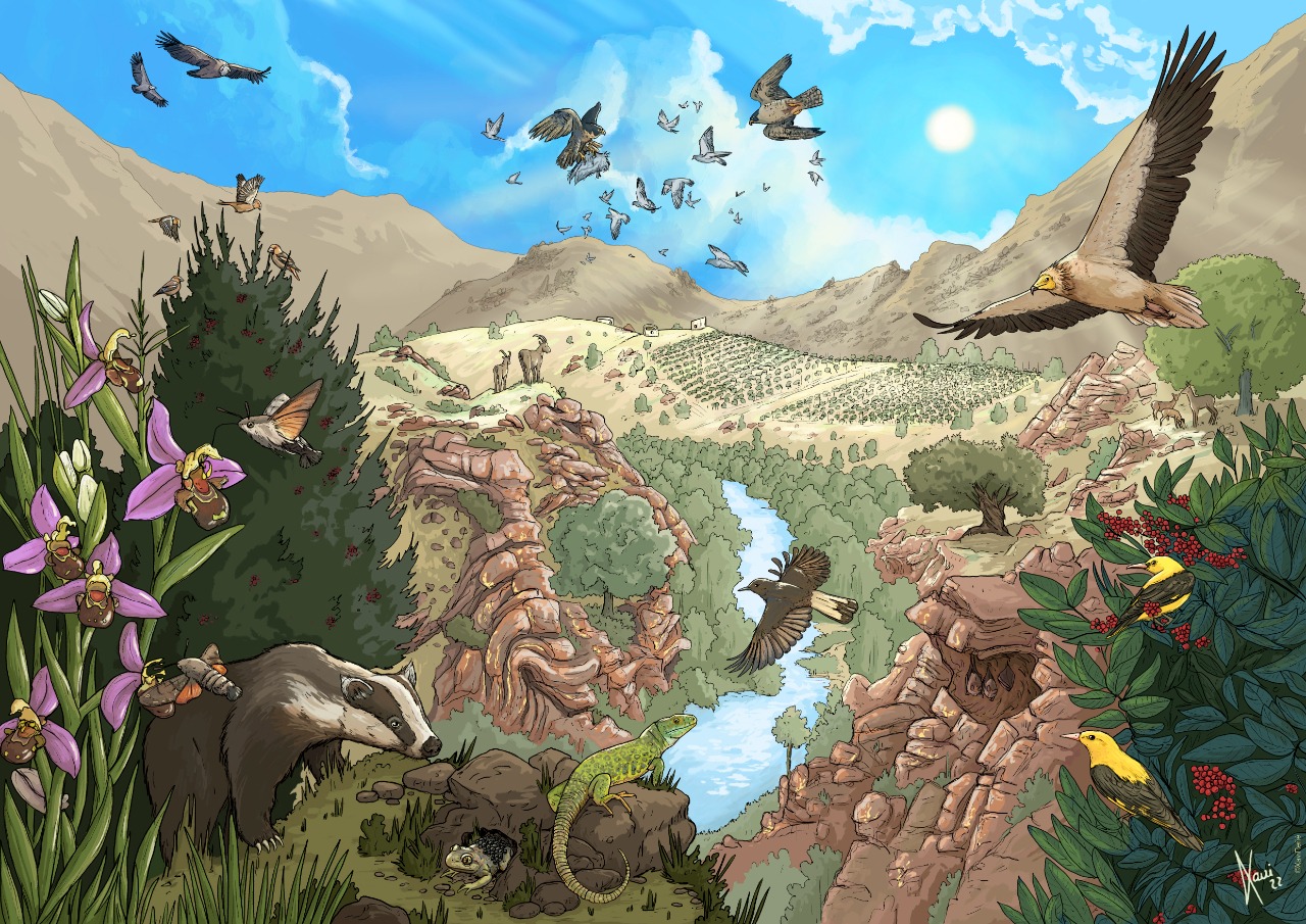
The area is part of the Douro Internacional Natural Park, which runs along the border between Portugal and Spain, through the valleys of the Douro and Águeda rivers. With 130km long and within an area of 85.150ha, the river valleys shapes a deep canyon with steep slopes, mainly cliffs. The region is included in an even larger area created by UNESCO’s Man and Biosphere program, known as the Meseta Ibérica Biosphere Reserve.
A Medieval Causeway
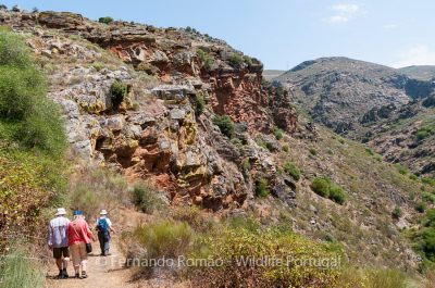
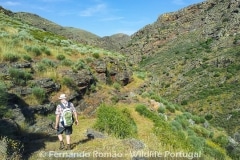
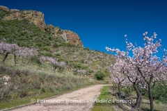
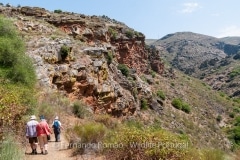
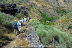
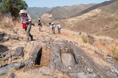
At the Mosteiro Stream valley there’s an old paved and sinuous path with about 1km in lenght, the Alpajares Causeway. It is a small section of what once was a much longer medieval road. This causeway straddle along a steep slope of the stream valley, a tributary of the Douro River, at the Douro Internacional Natural Park. It is part of a circular hiking, of medium lenght but it is extraordinarily rich in natural, scenic and historic heritage.
Primordial human presence
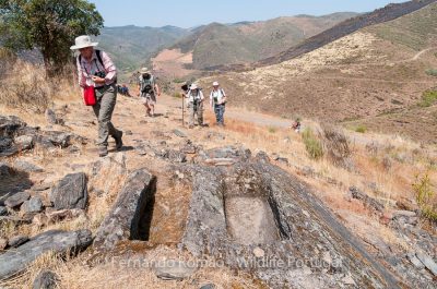
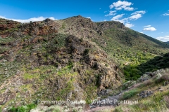
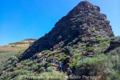
In this ancient landscape of rugged ground, with a deep valley furrowed by the Mosteiro Stream, there are traces of a more primordial human presence. The “Castro” of São Paulo, from the Iron Age períod, summits the hill of the same name, where vestiges of the Roman presence have also been found. At this highest point of the route there are still an old dovecote and some medieval graves excavated in the rock.

